
Space Satellites Detect a Massive 2,600-Year-Old Buried Egyptian Complex Larger Than a Football Field Hidden Beneath Nile Mud

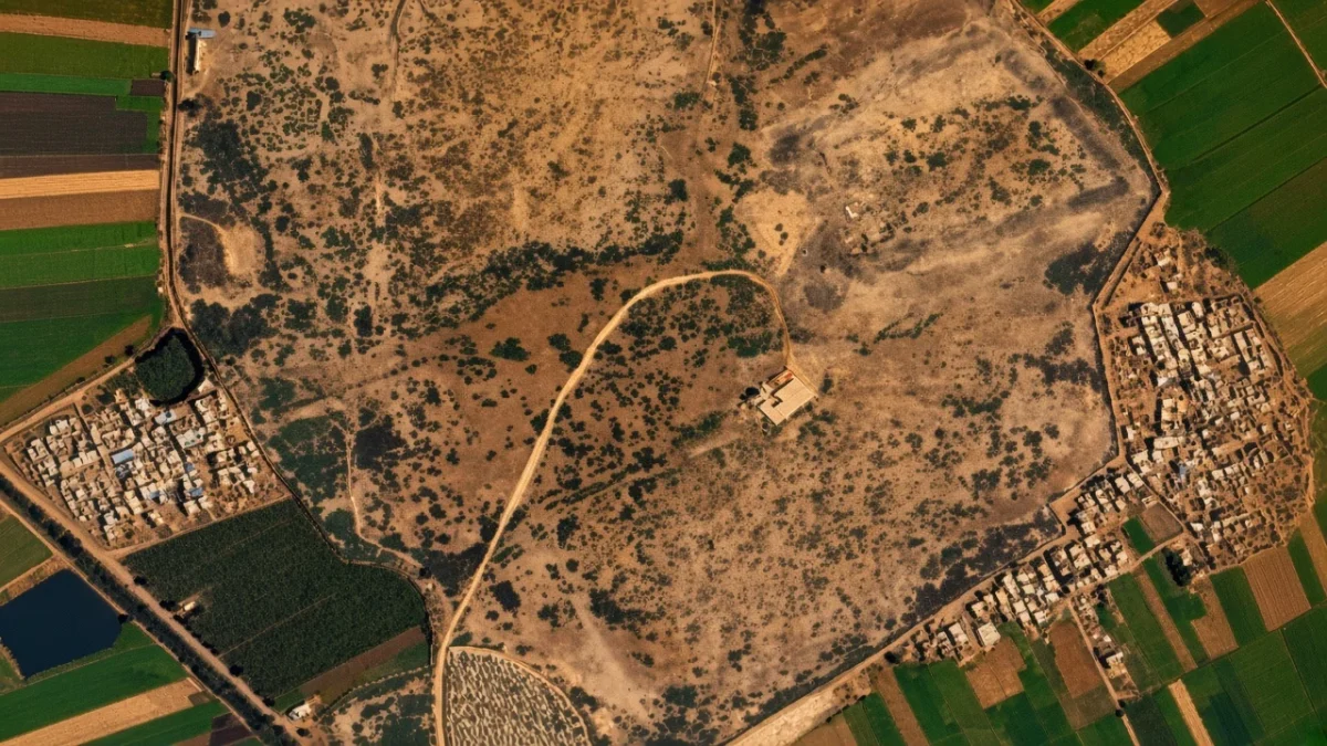
A massive 2,600-year-old ancient Egyptian complex measuring 420 feet long and 203 feet wide has been discovered buried deep beneath river mud in the Nile Delta—spotted entirely from space. Orbiting radar technology penetrated the soil to uncover the sprawling footprint, which is larger than an American football field.
The monumental site sits hidden beneath Tell el-Fara’in, an archaeological area located roughly 85 miles northwest of Cairo. Millennia ago, the ancient city was called Buto, a revered ceremonial center dedicated to Wadjet, the cobra goddess of Lower Egypt.
While researchers have picked through the surface ruins of Buto for decades, decades of dense silt and clay blocked access to its deepest historical layers. Now, high-tech orbital imaging has cracked the mystery wide open without moving a single grain of dirt.
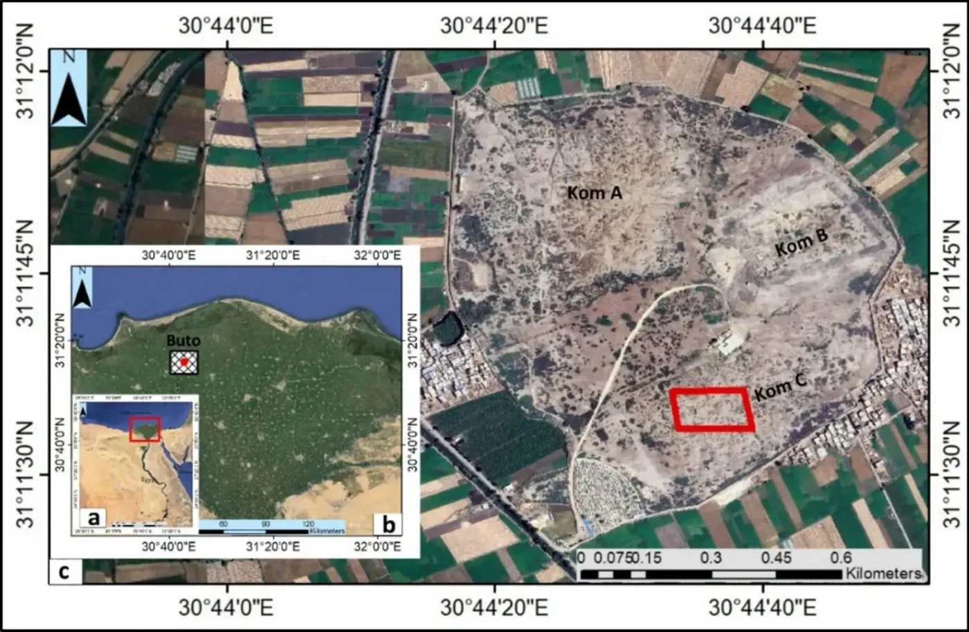
Archaeological grounds at Tell el-Fara’in where satellite radar revealed the buried structure.
How Radar Satellites Pierced the Nile’s Ancient Mud
A joint research team from Egypt’s Kafr El Sheikh University and the United Kingdom’s Durham University detailed the discovery in the journal Acta Geophysica. Instead of traditional trench digging, the team relied on the European Space Agency’s Sentinel-1 satellite.
Sentinel-1 shoots active microwave radar pulses directly down to Earth and analyzes the tiny variations in the bounce-back signals. These subtle shifts map density changes hidden deep under the soil, revealing massive man-made shapes beneath the surface.
The satellite scans detected an enormous oval anomaly buried under Kom C, one of the three dominant earthen mounds at Tell el-Fara’in. To confirm the satellite’s orbital findings, the team took the investigation straight to ground level.
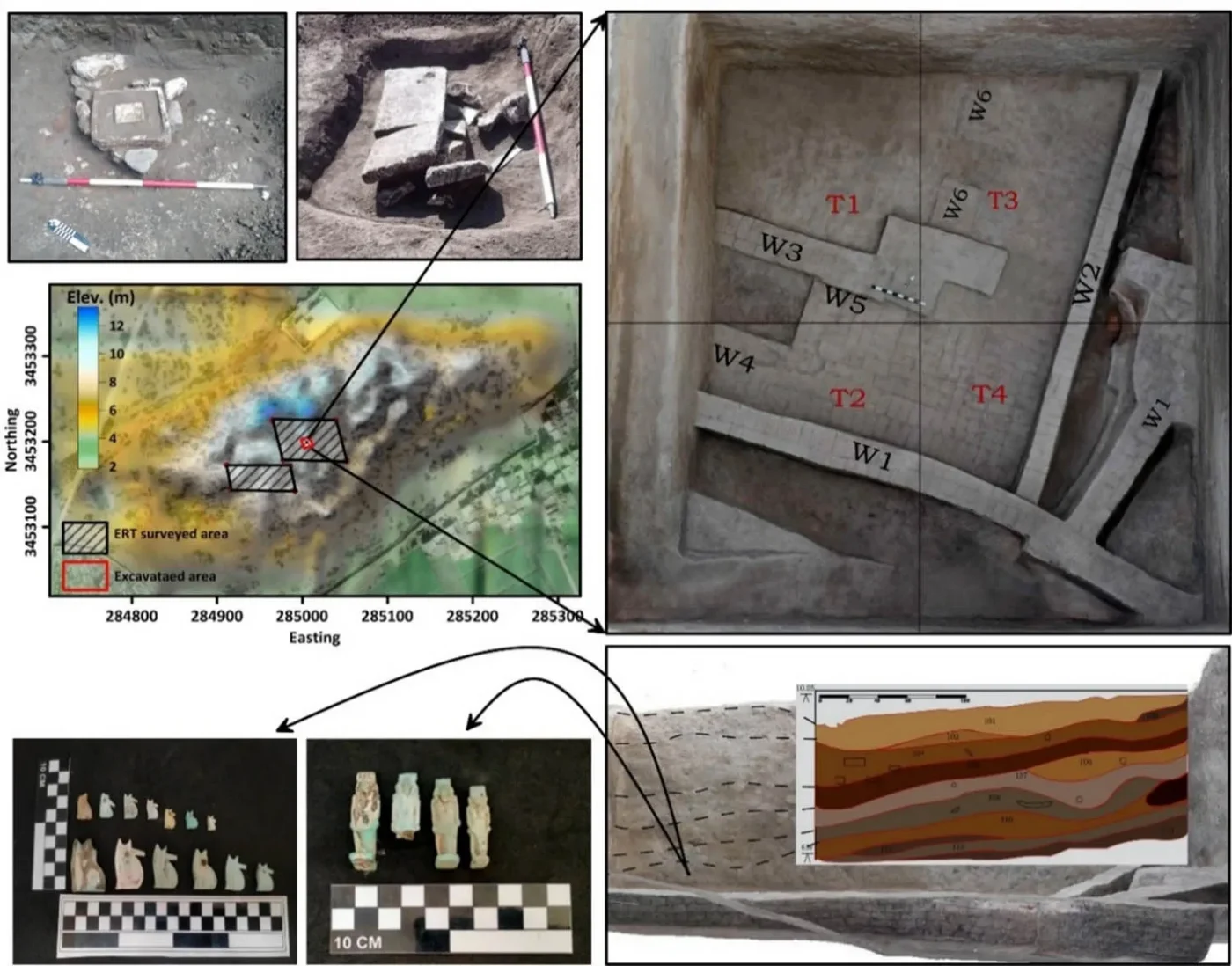
Geophysical survey work underway at the Tell el-Fara’in archaeological site.
Mapping Ancient Architecture with Electric Currents
On the ground, researchers deployed electrical resistivity tomography across nearly 60,000 square feet. By setting up 15 parallel survey lines, they pulsed mild electric currents through the terrain.
Because stone, mudbrick, voids, and wet soil all conduct electricity at different speeds, the team created a cross-sectional underground map. This allowed them to construct a full architectural profile of the buried settlement before any shovel touched the ground.
- Surface Layer: Shows thick debris layers consisting of Egyptian and Roman domestic ruins, confirming continuous occupation over centuries.
- Mid-Depth Layer: Contains the newly mapped mudbrick complex, believed to trace back as far as 688 B.C.
- Foundation Layer: Features an artificial platform engineered to handle waterlogged delta terrain.
“The results of this study demonstrate the effectiveness of combining geophysical measurements and remote sensing data, which gave a very accurate vision in detecting buried settlements in a complex region,” the scientists wrote in the study.
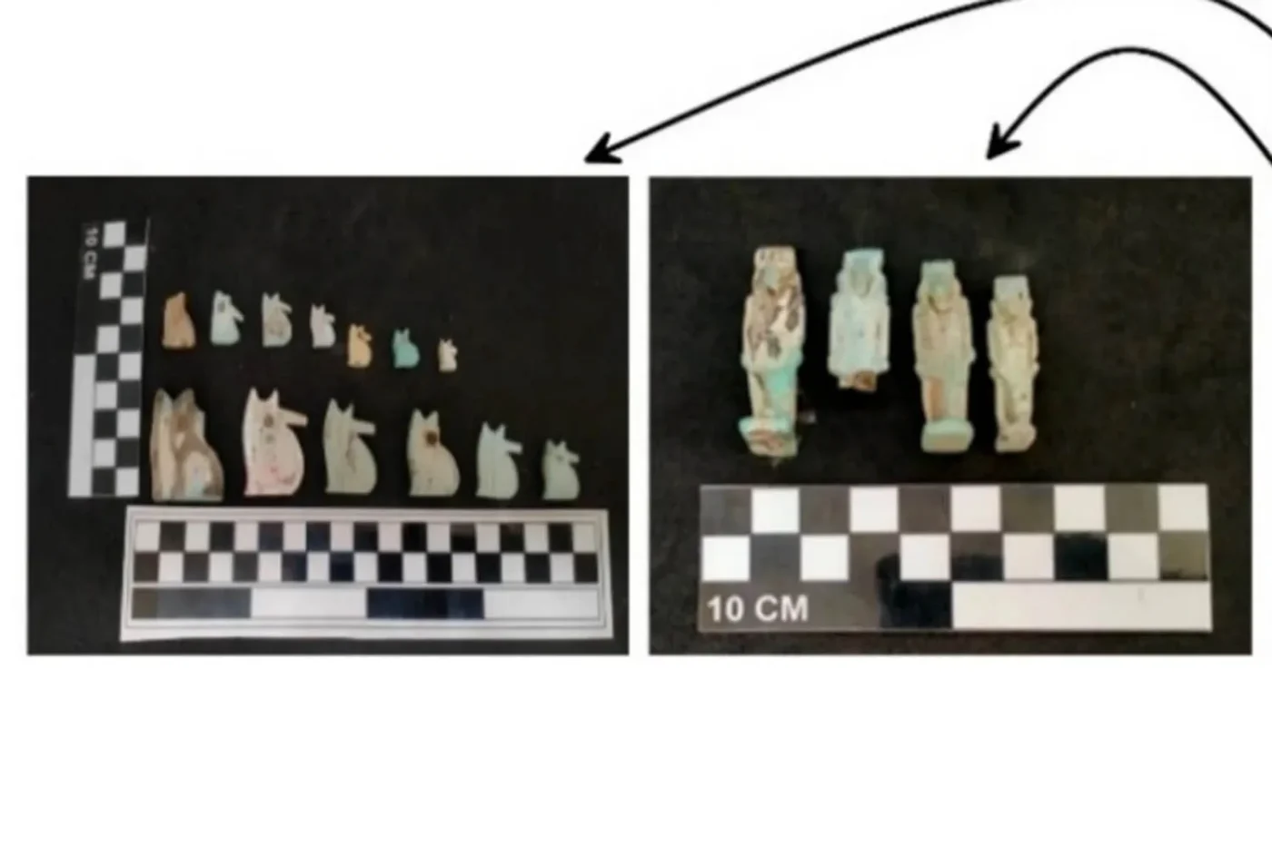
Excavation and survey site at Tell el-Fara’in showing structural layers.
The Sand Cushion: A Masterclass in Ancient Engineering
One of the team’s most unexpected findings was not just the building’s sheer size, but what lay directly beneath its base. Right below the massive mudbrick structure, researchers hit a thick layer of clean, pure sand.
Building massive stone or brick structures directly on wet Nile Delta clay is notoriously risky because clay shrinks, swells, and shifts under heavy loads. Modern engineering often relies on engineered sub-bases—and ancient builders had already solved the exact same problem over two millennia ago.
“Using pure sand as a stabilizing cushion was a brilliant, deliberate tactic,” Hussein Bassir, director of the Antiquities Museum at Bibliotheca Alexandrina, told LiveScience. “The ancient builders profoundly understood their environment.”
Structural Profile of the Buto Complex
| Feature | Archaeological Specification |
|---|---|
| Overall Dimensions | 420 feet long by 203 feet wide |
| Estimated Construction Era | Circa 688 B.C. |
| Primary Wall Material | Ancient mudbrick |
| Foundation Type | Deliberate clean sand cushion over delta clay |
| Upper Strata Elements | Mixed Roman and later Egyptian settlement debris |
| Detection Technology | Sentinel-1 satellite radar and electric resistivity tomography |
What Happens Next at Tell el-Fara’in?
The research team plans to return to Buto to run electrical resistivity surveys at even deeper subterranean depths. They want to chart any potential earlier structures resting beneath the sand layer.
At the same time, ancient plant specialists will analyze botanical remains to reconstruct what the regional environment looked like during the building’s construction. These botanical profiles will reveal how local vegetation and water channels shifted across centuries of Nile inundations.
✨ Space-based archaeology is completely rewriting what we know about ancient civilizations, bringing hidden monuments to light right from Earth’s orbit.
📱 Discoveries like this show how much ancient history remains buried just beneath our feet, waiting for the right technology to spot it.
💬 Drop your thoughts in the comments below: Would you explore these deep ancient ruins or keep them protected underground?
 1
 2
 3
 4
